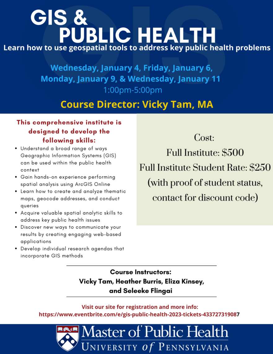
Course Director: Vicky Tam, MA
Wednesday, January 4, Friday, January 6, Monday, January 9, & Wednesday, January 11, 1pm - 5pm
This institute will be help in person
This comprehensive institute is designed to develop the following skills:
- Understand a broad range of ways Geographic Information Systems (GIS) can be used within the public health context
- Gain hands-on experience performing spatial analysis using ArcGIS Online
- Learn how to create and analyze thematic maps, geocode addresses, and conduct queries
- Acquire valuable spatial analytic skills to address key public health issues
- Discover new ways to communicate your results by creating engaging web-based applications
- Develop individual research agendas that incorporate GIS methods